Green Producers: Reserve Recovery
This article is the second of a five-part series on green producers, and why we should celebrate those who have been doing it well and will continue to do so.

Last month, we introduced the idea of the “green operator,” arguing that at its core being green means maximizing all aspects of a resource while minimizing environmental impact. How do you apply that line of thought to a mine site or aggregate operation? Let’s start with the reserves.
Mine planning
If your goal is to be a green producer, effective mine planning is a necessity.
A traditional mine plan includes technical and geologic details that enable efficient extraction of the deposit. A green mine plan goes a step further, optimizing the use of the entire property. This is an instance where Habit 2 of Stephen Covey’s 7 Habits absolutely applies; begin with the end in mind.
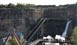
Understanding the end use potential of a mine site allows the green producer to “recycle” the property. An example of this is Six Flags Fiesta amusement park in Texas.
Leveraging the creativity of mine planners, developers, government planning authorities, and/or local businesspeople, a mine site can be completely transformed at the cessation of mining. Other examples of mine site redevelopment into high-value uses include water storage, flood control, landfills, shopping centers, and golf courses, to name a few.
 An optimized mine plan acknowledges and incorporates these potential high-value end uses of the property and maximizes recovery of reserves within the defined mining area. The finished plan leverages geologic data to determine mining method, safe wall/slope design, and haul road location. It also incorporates economic factors to ensure that the highest value material and highest yield areas are identified and included within the mining limits.
Excavation
With the plan in place, the green operator must execute and maximize recovery by continually monitoring the mining process. On dry mining sites, GPS systems, LIDAR, drones, and routine surface surveys ensure the excavation stays on plan and leaves as little as possible behind.
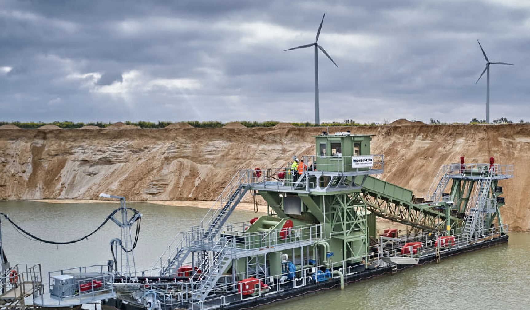
When mining in the wet, newer technologies provide real-time feedback to the operator. SONAR/DGPS systems can provide nearly live mapping for dredging applications. Some of these systems are capable of importing a CAD-based mine plan and operating to that plan. In dragline applications, portable systems can be mounted on a small boat to provide similar functionality.

In either case, continuous monitoring of the excavation process ensures that the least amount of potential reserve is left behind. This approach maximizes yield per acre, minimizes the amount of surface area disturbed, and can even extend mine life.
In total, end use planning, mine planning, and excavation monitoring allows a green operator to maximize recovery, reduce the impact of land consumption, and recycle the property. These should be the goals of every green producer.
About the author:
 Richard Crowe is senior consultant for Inlet Capital Group. He has nearly 20 years of experience in plant and area level operations management. He can be reached at rcrowe@inletcapitalgroup.com or 561-529-5569.

